Creating a Landscape
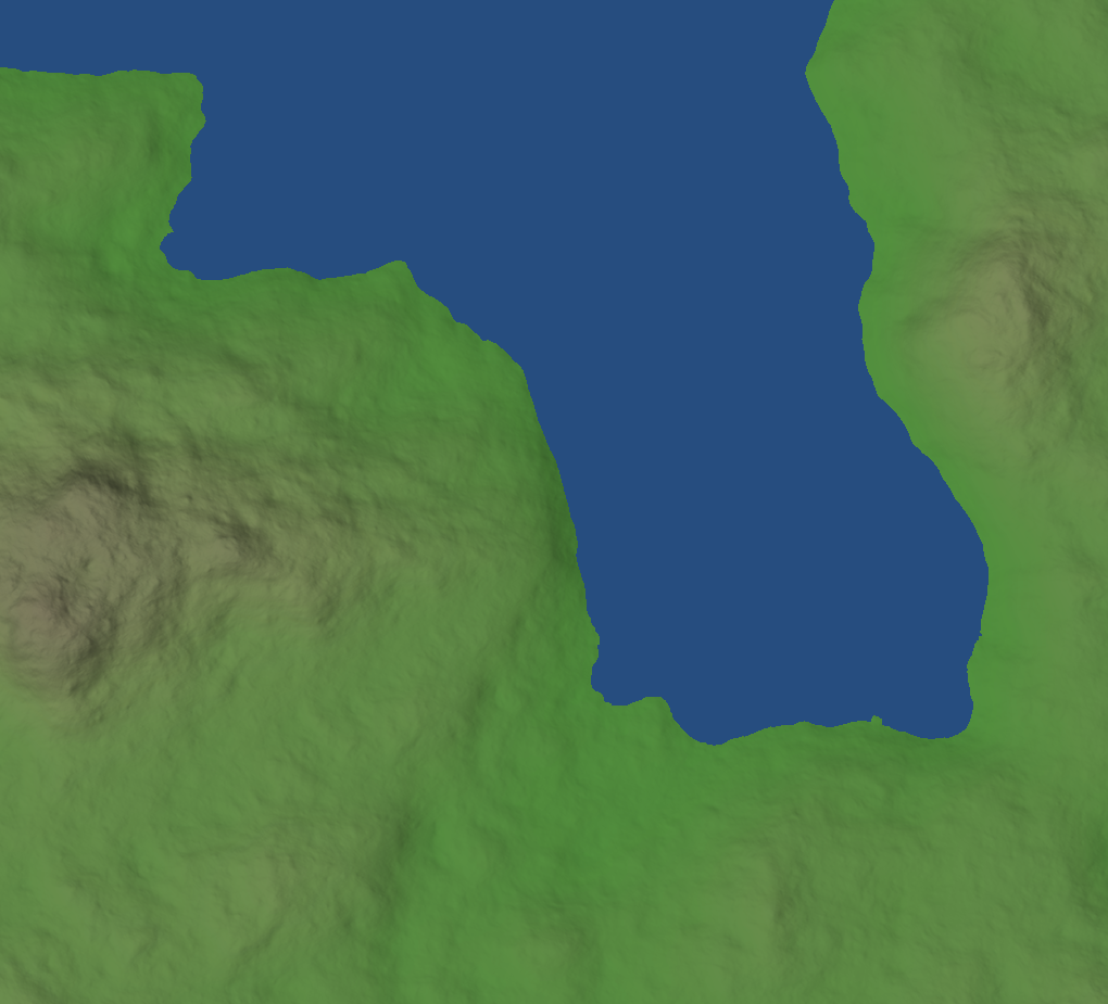
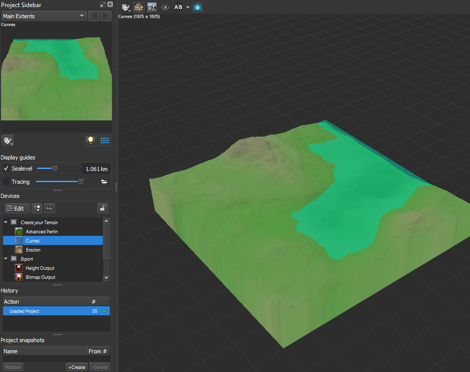
When Creating a map, I often like to draw inspiration from randomized sources. In the case of this study, I used World Engine to randomise a soft hilly region.
I randomised the map a number of times to find an interesting landscape that I would like to work with, and started changing some terrain data to alter water levels and the harshness of the landscape.
I took a screenshot of the World Engine map, and began to draw out a simplified version in photoshop with basic colour gradients to display the height changes within the landscape. I like to create maps in a simple block colour fashion to really focus the primary data that is required to be represented.
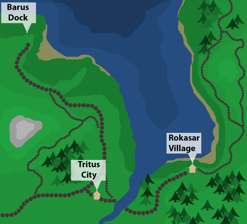
I followed up the map draw out by placing cities and locations that I believe make sense within the landscape. In the case of this world, I created three different locations.
I tried to keep the locations near coastal areas, as I felt the world map I'd been given worked well as a forested area which focussed on river based activities such as fishing.
Following the curves of the landscape, I pathed out the main roads which travel between each of the locations. I feel it is also important to give the roads interesting diversions and detours instead of very monotonous straight paths.
I tried to add trees in locations which would block visibility between locations, to make the route to other locations seem more interesting. The trees to the East of the river for example, will help block visibility between Tritus and Rokasar.
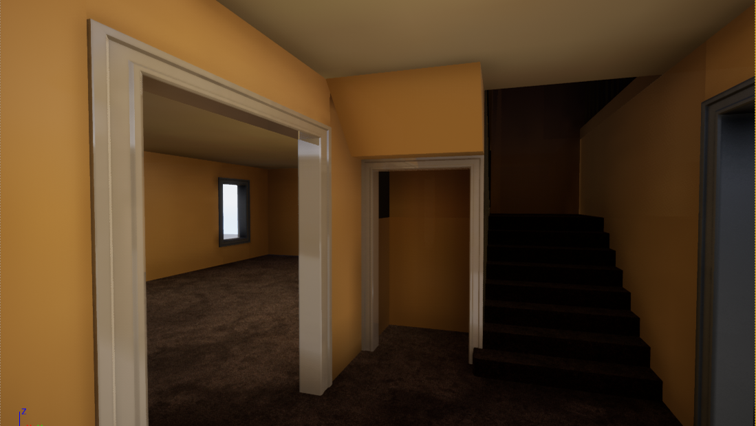
Moving forward, I felt most comfortable expanding upon Tritus City, which had an interesting mix of flat land, water and tree regions.
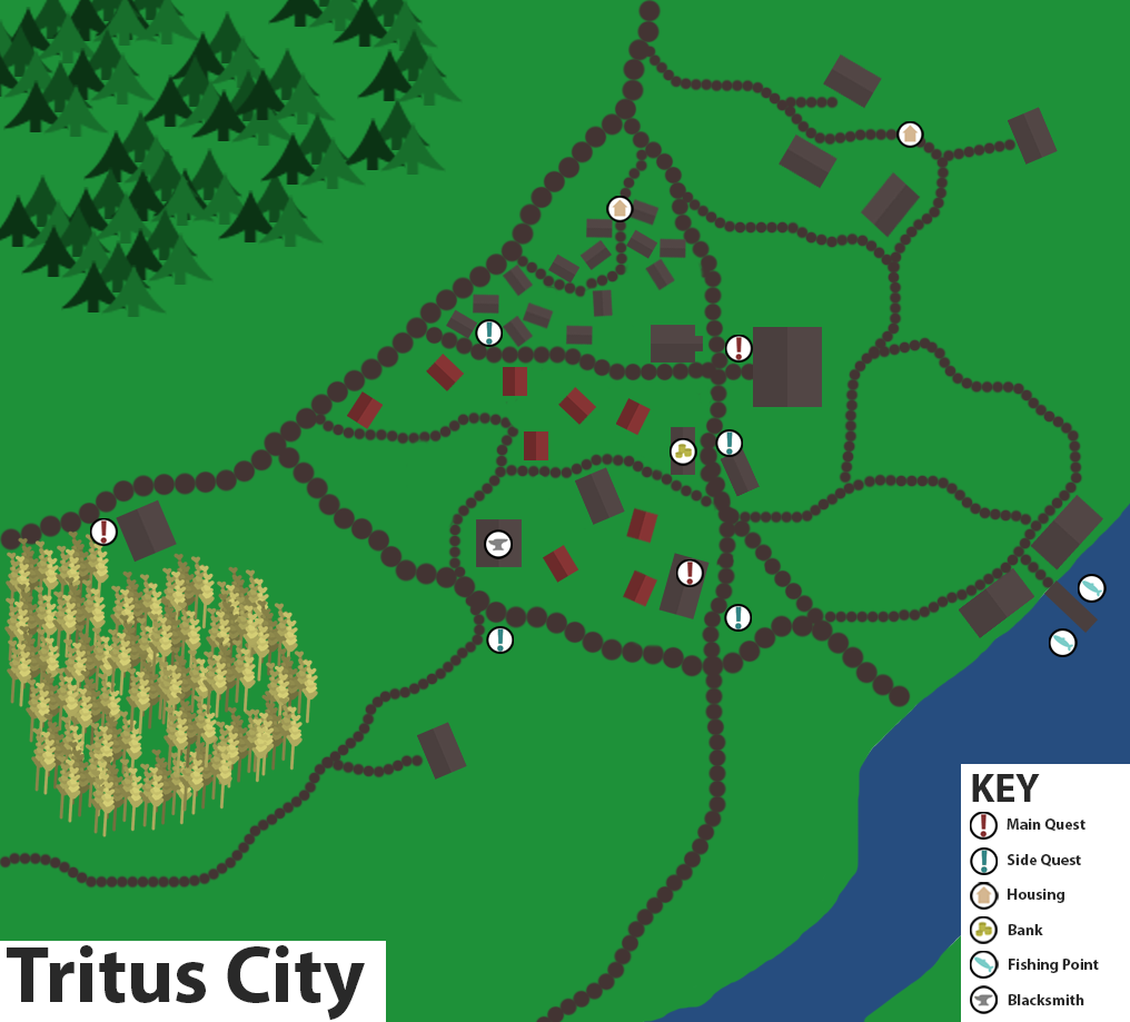
Mapping a City
When mapping a city, I believe it is important to know what the player will be able to see as they make their way towards it. With this in mind, I think it is important to have a line of sight to a single landmark when entering the city from any angle. In the case of Tritus City, I wanted the town hall (The largest building) to be the primary target.
With the player taking either of the intersecting main roads, I wanted the Town hall to be visible. To allow for this, the buildings between the main roads and the town hall, are mostly small housing areas and market stalls.
Once I had an initial plan regarding lines of sight within the City, I then looked at the zoning of different areas.
With the long stretch of road going from North to South, I believed this city benefit from being dense along the road rather than centrally.
Mapping Objectives
When mapping out objectives, I gave myself a brief to work from in terms of the players entry point to the City.
With the player coming into the city from the West, It was necessary to have the mainline quest on the main road. The main objective would require the player to enter the city, however they are quite open in which route they take.
When the player travels to Main Quest objectives, Its important to have Side Quests on the routes taken. This allows a branch for the player to explore other regions within the city which stray from the main quest lines.